Ralph B. Clark Regional Park and Coyote Hills Trail Offer Ultimate Orange County Adventures
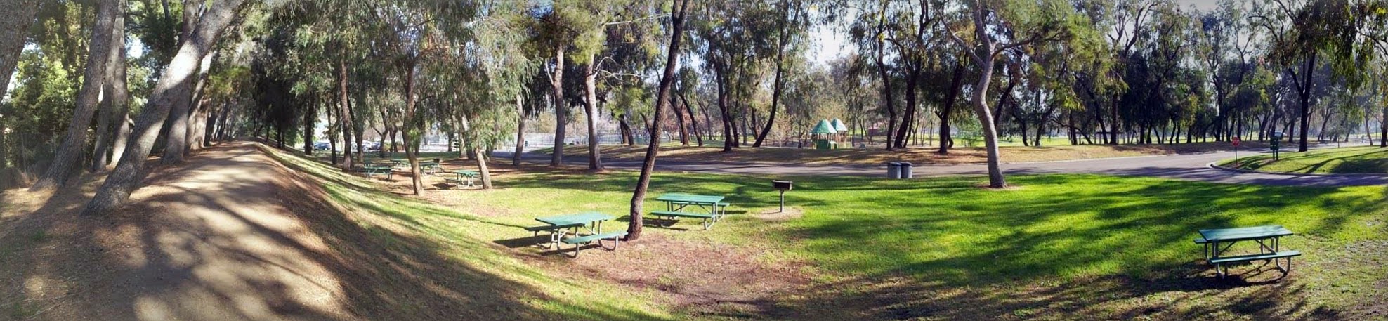
This beautiful park is situated in the city of Buena Park, Orange County, California. It serves as a expansive recreational area featuring serene lakes, winding streams, lush trees, scenic hills, and various highly engaging playgrounds for local families.
User Review (Local Trip Blog): I love bringing my kids here to look at the ducks on the pond and visit the fossil museum. It remains an amazing hidden gem tucked right into the middle of suburban North Orange County.
A Multi-Faceted Recreational Landscape
Visitors can also enjoy sprawling sports fields, paved bike paths, and an excellent hiking trail system. The park landscape varies from expansive open grass areas and gently rolling hills covered with native plants to dramatic sandstone cliffs situated along the northern boundaries. This incredible geographic diversity offers a variety of picturesque settings for intense outdoor activities or peaceful weekend picnics.
Premier Sports Facilities for Active Visitors
Sports enthusiasts can take full advantage of the park sand volleyball courts, three dedicated softball fields, a manicured baseball diamond, and professional tennis courts. These pristine community facilities provide ample opportunities for both casual weekend games and structured competitive tournament play.
Prehistoric Secrets of the Paleontology Museum
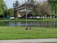 The park also features an educational interactive center that invites visitors to explore the prehistoric history of Orange County through engaging fossil displays, specialized education programs, and guided laboratory tours. This interpretive center provides a unique, hands-on glimpse into the rich biological past of the region.
Interesting Fact: Ralph B. Clark Regional Park was once an incredibly active archaeological and fossil excavation site. The onsite interpretive center showcases spectacular ice age finds, including the remains of prehistoric mammoths, ancient ground sloths, and a massive ten thousand year old baleen whale fossil.
Conquering the Park Perimeter Hiking Trails
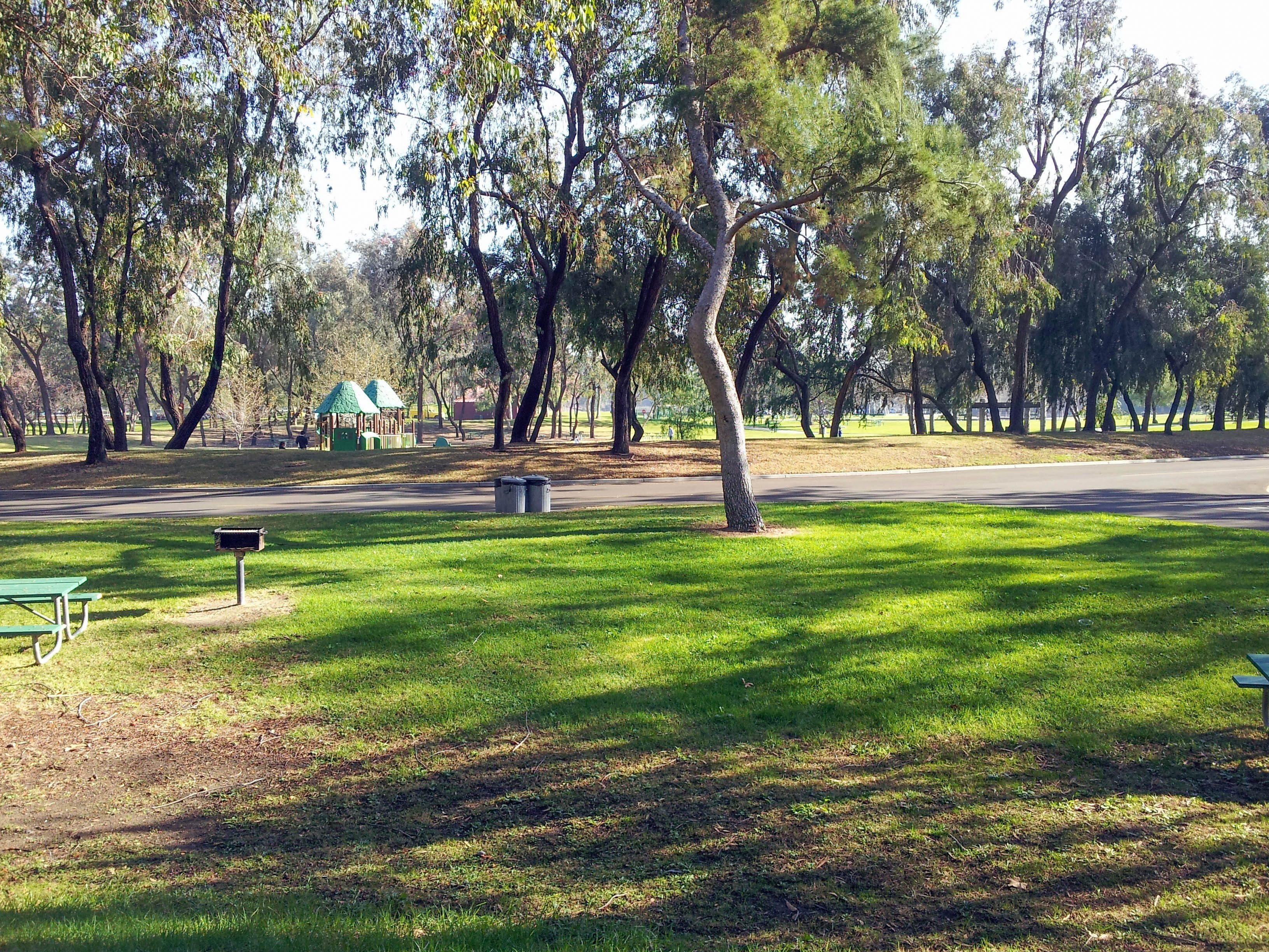 Begin your foundational hike from the staging area located directly behind the tennis courts. Follow the well-maintained dirt path as it winds gracefully between the mature trees encircling the park perimeter.
The trail climbs steadily up the local sandstone hills and terminates with a breathtaking view of the broader Orange County basin from the summit. Keep a close eye out for the local wildlife, including playful ground squirrels and various migratory bird species along the way.
Traveler Tip: Do not forget to pack your camera equipment. The elevated vantage points on the sandstone hills offer stunning, unobstructed vistas of Orange County, making it a perfect spot for sunset landscape photography.
Tackling the Rugged Coyote Hills Trail Challenge
Nearby, the distinct Coyote Hills Trail offers an intense challenge to hikers looking for a dramatic change of scenery and an upgraded physical workout. Hikers will encounter a demanding series of short but steep climbs across exposed ridgelines. These ridges reward your physical efforts with sweeping, panoramic views of the distant San Gabriel Mountains.
To get a clear idea of the physical challenge, you should know that this is a robust 2.2-mile trail circuit with approximately 423 feet of net elevation gain. The brief, steep inclines on the loose dirt and gravel tracks require excellent footwear with deep tread, alongside a solid level of cardiovascular endurance. The terrain is entirely exposed to the elements, meaning sun protection and heavy hydration are mandatory across all seasons.
Navigating from Trail Head to H2O Tower
The classic route is anchored by the designated Trail Head to H2O Tower segment. If you are already stationed at the regional park, you can cross over Rosecrans Avenue and walk directly to the trailhead coordinates located near 3841-4097 Rosecrans Avenue in Buena Park.
From this staging area, the trail pushes upward along a prominent ridge toward the highly visible municipal water storage facility known locally as the H2O Tower. This segment contains intense grades reaching short pitches of fifteen to twenty percent incline, testing your footing on dry gravel.
Another popular regional access point starts near the intersection of Rosecrans Avenue and Parks Road, winding cleanly past the borders of the adjacent Coyote Hills Golf Course.
User Review (Trail Finder App): The Coyote Hills hike up to the H2O water tower is relatively short but definitely packs a punch. There is zero shade on the ridge so you must go early in the morning during summer, but the clear morning views of the snow-capped mountains are incredible.
Essential Visitor Information and Location Details
Both Ralph B. Clark Regional Park and the connecting Coyote Hills Trail networks are fully operational, open daily, and managed directly by the Orange County Parks department. The interpretive paleontology center operates under specialized weekly hours, so calling ahead to confirm schedules is highly recommended.
For more official updates, park regulations, or facility reservations, visit the verified portal at http://www.ocparks.com/clarkpark/
Clark Regional Park Headquarters
8800 Rosecrans Ave.
Buena Park, CA 90621
Phone: (714) 973-3170